SHALOM GEO TECH SOLUTIONS Technologies is a well-known GIS Company that offers clients all around the world a variety of GIS services. Our GIS mapping services provided by us allow users to visualize geographical data, perform analysis and manage data efficiently.
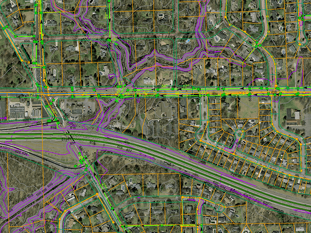
Being a GIS company, after using the gathered data, we work on data conversions and create electronic maps using GIS technology. With the aid of top-notch GIS mapping and GIS data conversion tools, our experience enables us to combine GIS services with CAD services . Our customers can create spatial maps, atlases, contour maps, thematic maps, cadastral maps, landscape maps, zonal maps, and environmental maps with the aid of these services.
Our composite GIS Mapping services and remote sensing include acquiring, storing, integrating, analysing, displaying and manipulating the data. GIS mapping companies collect, compile, and analyze both spatial and non-spatial knowledge of a given geographic place, then distribute the information in the form of dynamic maps. A given location's resource locations, consumer patterns, demographics, utility mapping, and other information can all be uncovered with the help of GIS services .
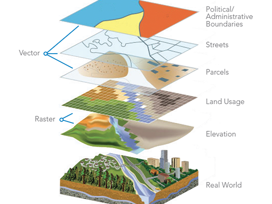
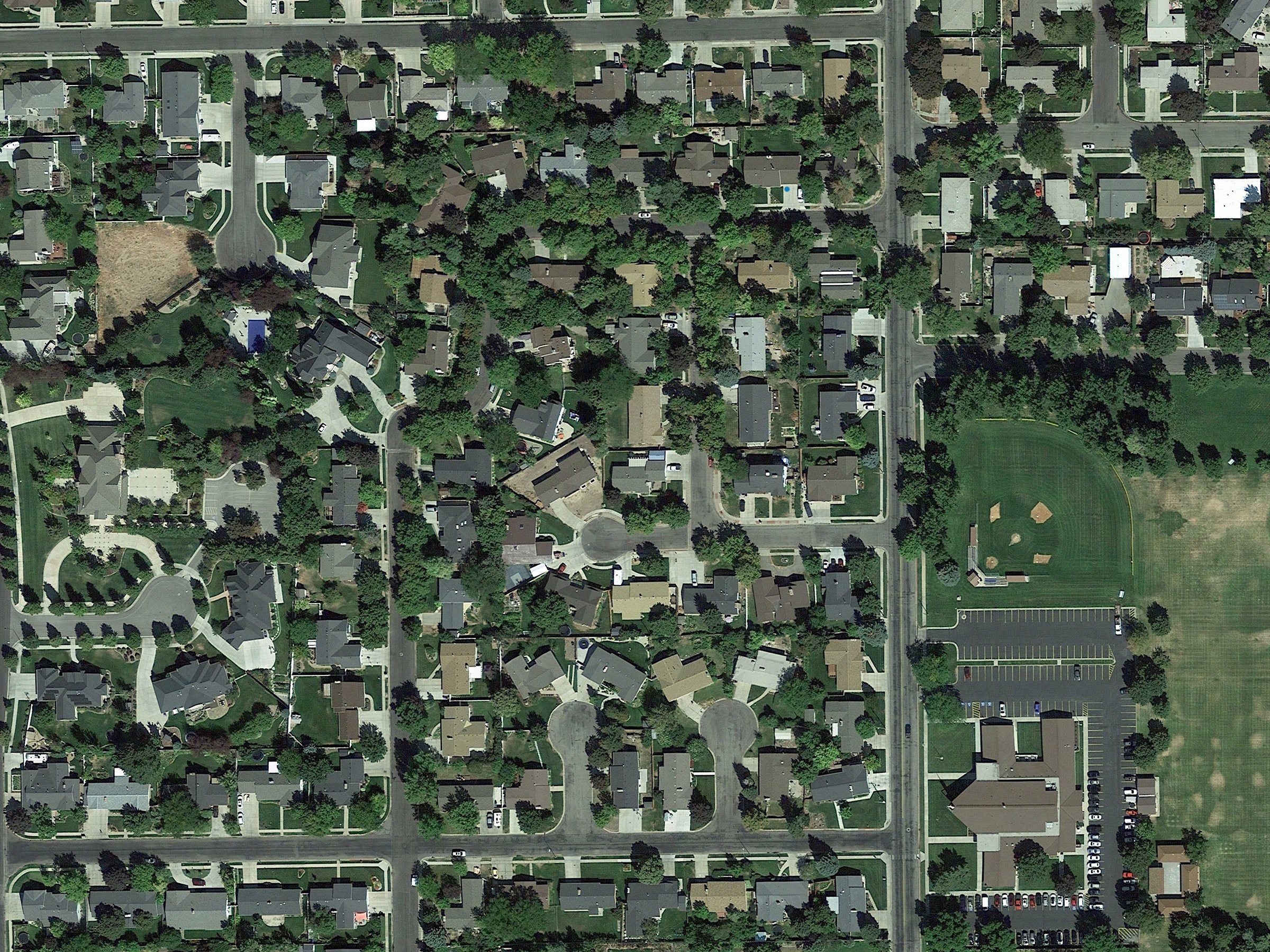
GPS, computer-aided design (CAD), and GIS systems to evaluate data from aerial and satellite images as well as data from land surveys.
Geographic informetion systems, or GIS, ere widely used by the utility industry for remote sensing utility mapping services and computer-aided design, or CAD and crafting technologies, for efficient operation. With years of experience, Polosoft Technologies offers specialized and effective GIS services for various utility industries, including electricity, water, gas, sewege, and telecom
Base Map This is the graphic depiction of the chosen basic map data, scaled according to a predetermined scale, from which additional mapping data of a more specialized kind can be assembled. In order to create intelligent GIS maps, base mapping is useful for understanding infrastructure, land bases, utility network, properties data, etc. Accuracy is guaranteed by Polosoft Technologies methodical base mapping process.
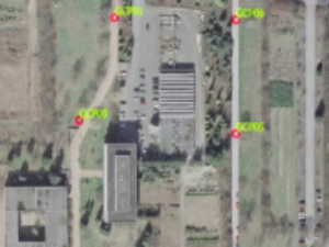
The term "geo-referencing" describes the internal coordinate system of a digital map or aerial photograph that is/can be connected to a geographic coordinate system on the ground. Assigning positions to geographical objects within a certain geographic frame of reference is known as georeferencing. It is essential to geospatial technology, specifically GIS.
GIS Map digitization is representing an analog signal or an image using a discrete set of its points. After conversion, the data is in the form of binary codes, which the computer can read and understand instantly. Text, images, audio, and video are all examples of converted data. As spatial data, the x and y coordinates are noted and saved.
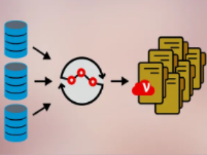
The conversion of inferred data from one format to another is referred to as GIS data conversion. Converting data from a big volume of obtained GIS data is simpler than completely constructing the data from scratch. The change and transfer of data between various systems is a crucial step in the migration of information from existing databases
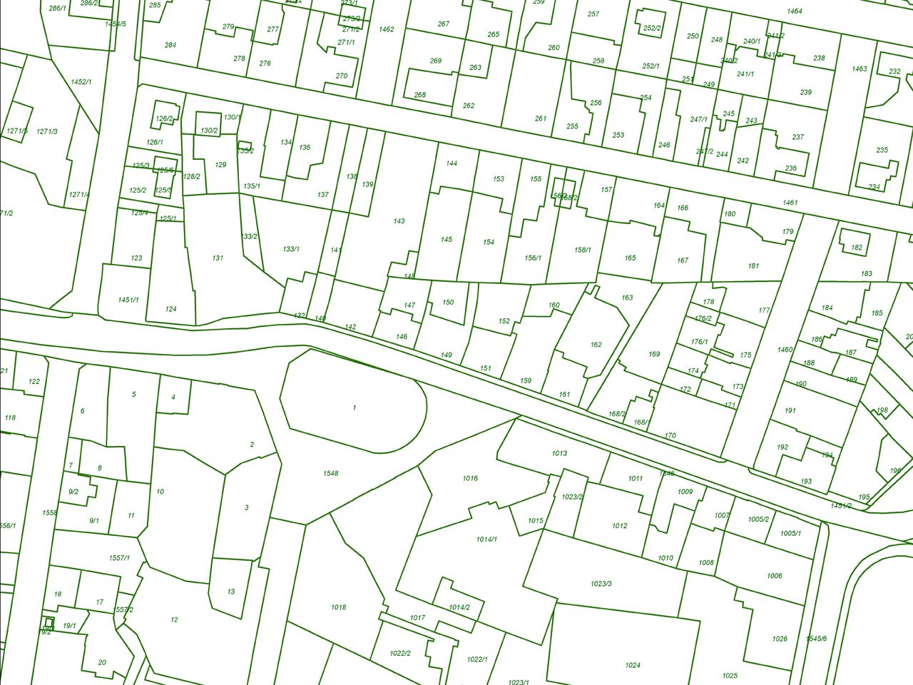
Cadastral mapping is a record of the details related to the properties in an area. The cadastral mapping services used to create the maps make it simple to handle public land records. National and local governmental bodies, real estate developers, architecture, engineering firms, and industries make proactive use of cadastral mapping services for making better decisions
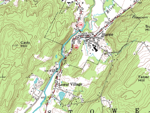
Industries are helped by topographical mapping when it comes to choosing the most efficient route from one location to another. To better understand an area's elevation, topographical mapping uses contour lines to map the topography. Topographic maps are utilized in a variety of applications, including energy exploration, resource conservation, public works design, environmental management, and commercial and residential development
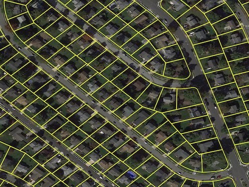
Parcel mapping is a technique for creating land parcels using GIS data for efficient and accurate land management. Parcel maps are utilised in various implementations in various industries like land administration & land registration by urban and rural governing agencies. Municipality planning & urban development. At Polosoft, we develop the parcel map with the highest accuracy.